Mapping Problems: Location Intelligence Otherwise
Daniel Miller
What is location intelligence and which ways of knowing location, space, and place does it foreground? What’s at stake with the proliferation of location intelligence platforms and what is the fate of place? How can I intervene in the trajectory of these systems, and counter them with creative, critical, and humanistic approaches to geography, at scale?
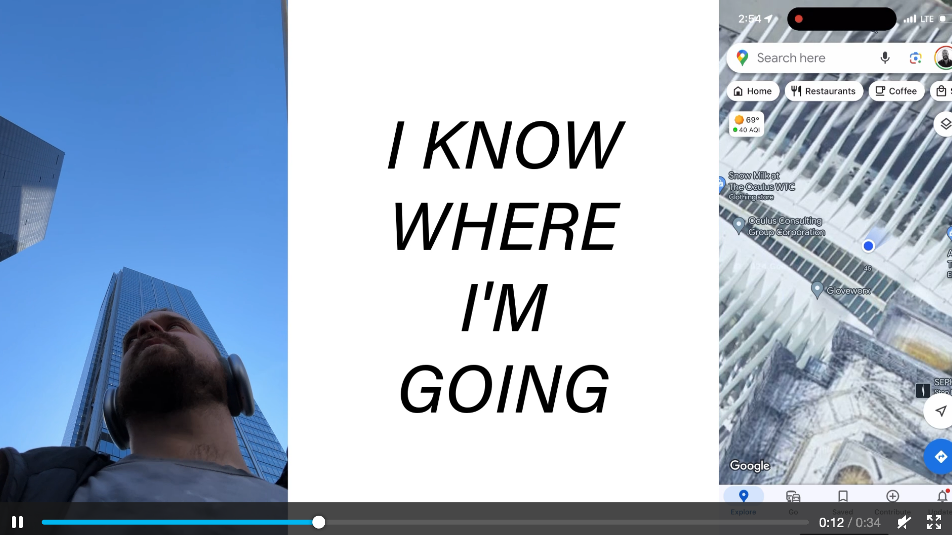
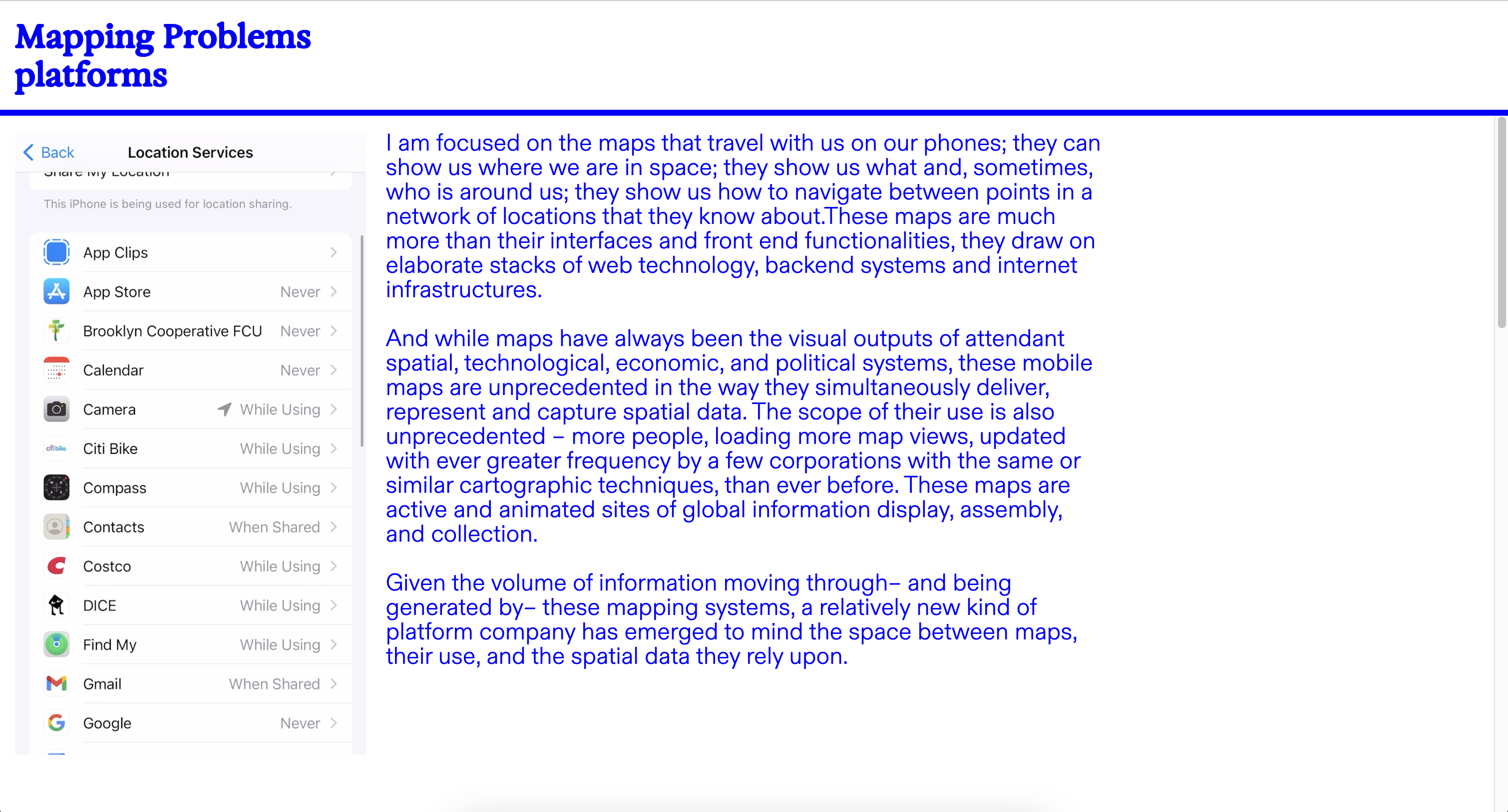
I am focused on the maps that travel with us on our phones; they can show us where we are in space; they show us what and, sometimes, who is around us; they show us how to navigate between points in a network of locations that they know about. These maps are much more than their interfaces and front end functionalities, they draw on elaborate stacks of web technology, backend systems and internet infrastructures. And while maps have always been the visual outputs of attendant spatial, technological, economic, and political systems, these mobile maps are unprecedented in the way they simultaneously deliver, represent and capture spatial data. The scope of their use is also unprecedented – more people, loading more map views, updated with ever greater frequency by a few corporations with the same or similar cartographic techniques, than ever before. These maps are active and animated sites of global information display, assembly, and collection.
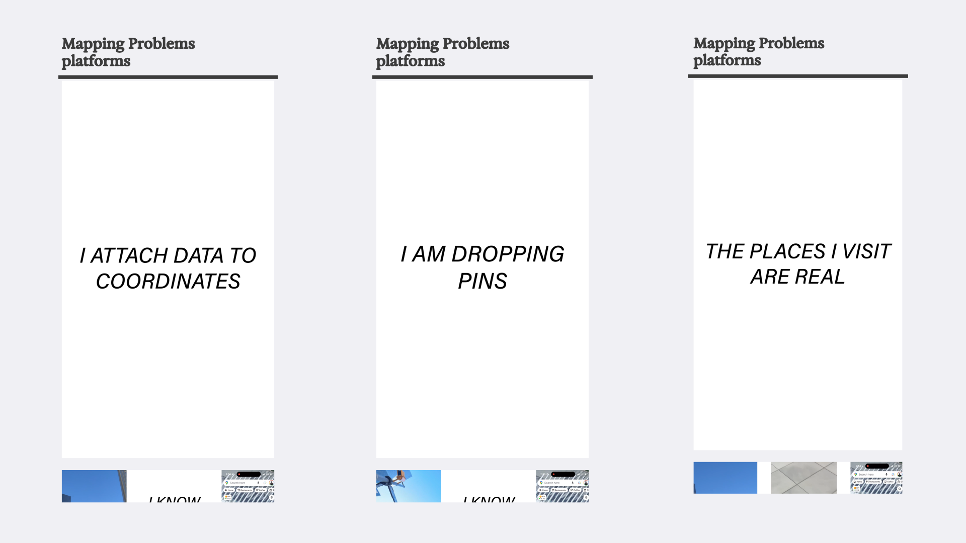
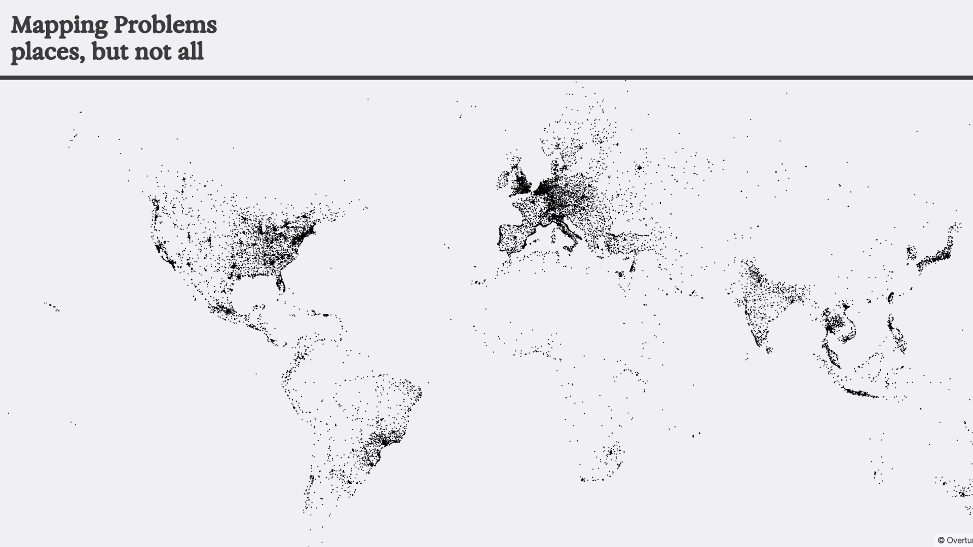
Location intelligence companies have adopted the lexicon of human geography, even if their products have a very thin relationship to the full breadth of geographic inquiry. One prominent product, and the center of my work, are Points or Places of Interest data or POI. At a minimum, POI are locations, mappable to coordinates, that map users can generally visit. They are most often retail stores, restaurants, parks or institutions, but can also represent events. Information about these locations can vary between datasets, but they generally reflect location, contact information, and function or place category (store, restaurant, landmark, atm, commercial or public place).
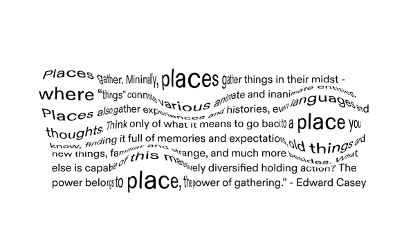
This is a very limited lens through which to view and represent the complexity and many scales of place. And those limitations are cause for concern given the prevalence, influence, and power that location intelligence products that produce POIs have in structuring the physical world and our relationships to it. The discourse on the differences between space, place, and representations of the two in geography is complex – what I am most interested in is recovering the experiential and difficult-to-map aspects of place within our digital systems, and trying to create alternate systems for relating to place, and representing them, at scale.
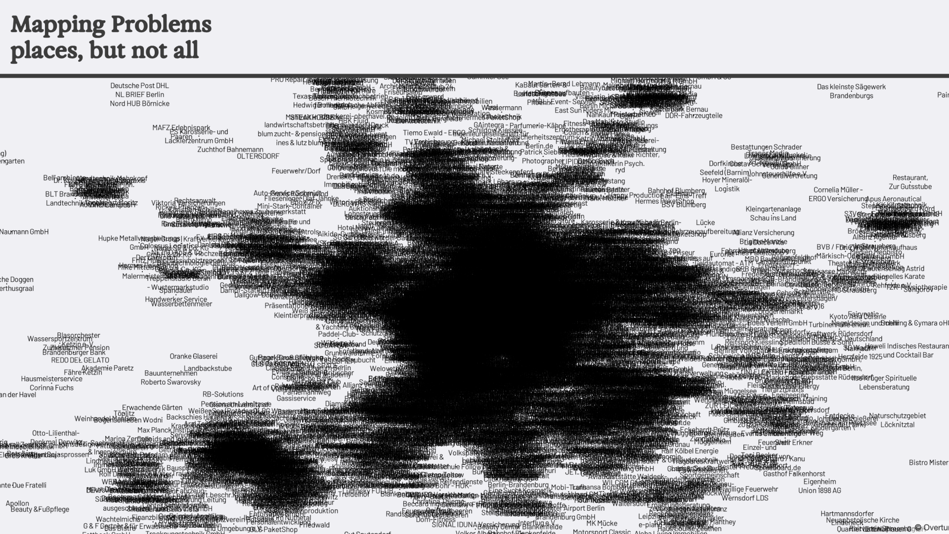
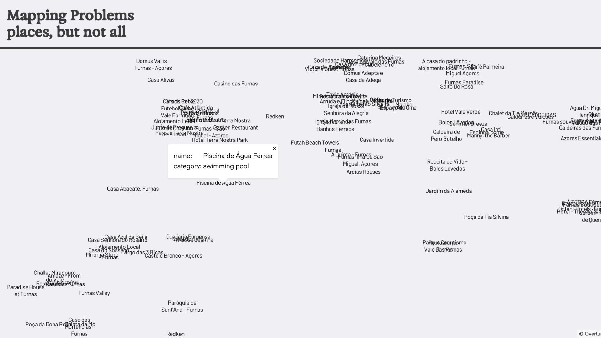
I am seeking sources for alternative, difficult or impossible to map places that reflect more ways that people relate to geography and imbue places with meaning. Instead of making a participatory map, I want to mirror the ways in which location intelligence platforms gather massive amounts of data, but will do so by creating a corpus from a vast array of english language sources. This will allow me to work creatively and ethically with different working definitions of place – and explore the geographies latent within texts – works of fiction, wikipedia, messageboards, newspaper and magazine articles, websites more broadly. I will bring these data, the Points of Interest that I’ve altered, the corpus and resulting Places of Experience dataset that I will create from it, into an alternative Location Intelligence Platform. I am developing a few interventions that will mirror the structures of Location Intelligence products but alter them in meaningful ways. The result will be a constellation of experiments that extend from new data structures to new representational modes for data about place. I will explore other ways to interact with digital places and spatial text – which will dialog with and relate to place differently, in chat for example, or through other ubiquitous web map interactions like search, routing, or geolocation.
