A Weathering Station: Autographic Comprehension of a Fog Layer
Claire Galla
The Provocation
Fog moves through various interfaces, be it ecological, material, and now digital — how might we witness it in its transitional state?
What are the existing and emergent power structures of cloud documentation, material, immaterial, and digital?
How are clouds implicated in digital aesthetics?
How do air microbiomes form, what are the systems of legibility around air-moisture accumulation that currently exist?
How does a ritual of atmospheric dance get re-situated as autonomous technologies get deployed to handle resource capture and what parameters should guide this in the context of fog and air moisture as a viable water source?
Where and when does air-moisture meet ecological criticality? As air moisture is both a by-product of a micro-climatic process and a trace of atmospheric happenings, how is it to be understood in real-time versus an archive?
"The forest images included here are then less representational and more operational. Neither a worm's-eye view nor a bird's-eye view, they ask that one begin from within the thick of planetary inhabitations, in the forests as they are lost and potentially remade, and as they reconfigure relations across people, more-than-humans, technologies, politics, and the planetary. How does this gaze from within planetary inhabitations generate multiple modes of praxis?"[1]
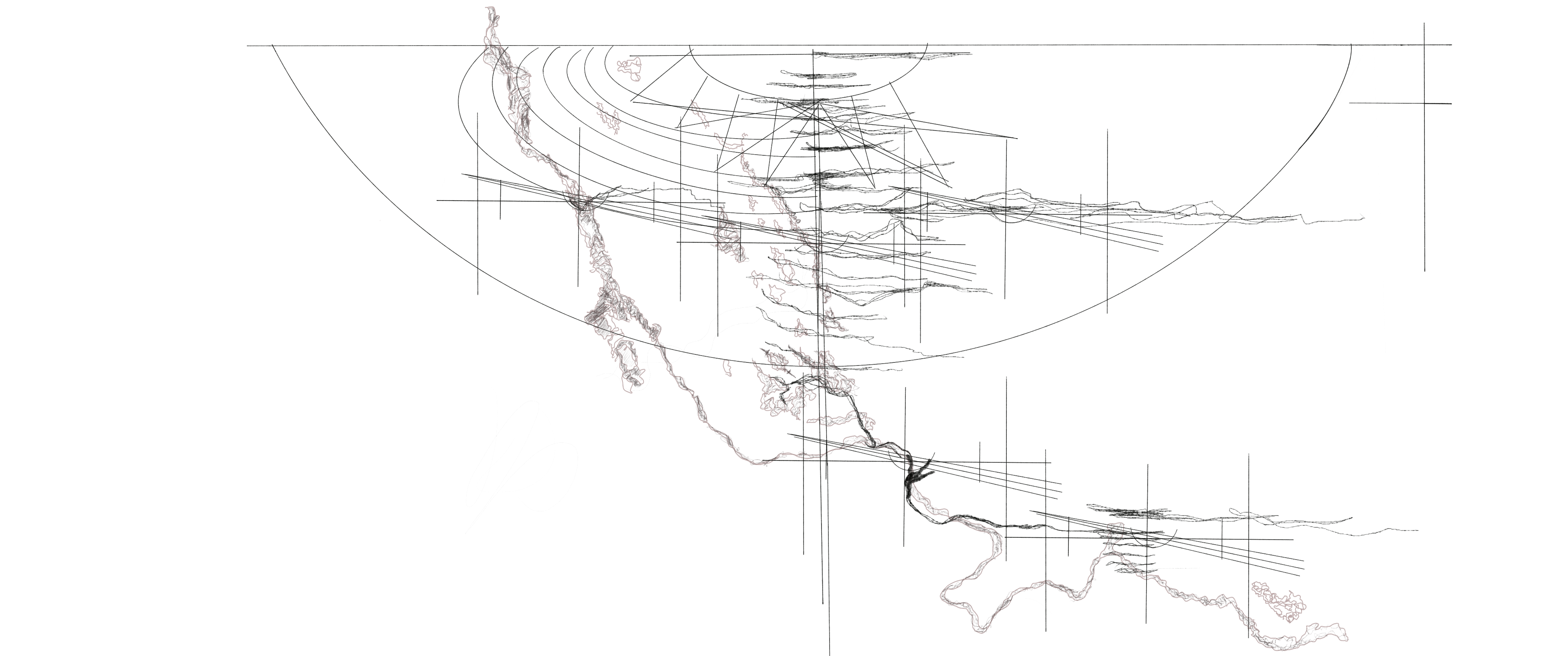
A Weathering Station: Autographic Comprehension of a Fog Layer
is an ongoing humanities and spatial research project that looks at systems of atmospheric relations as formed within a coastal micro-climate of Northern California. This project views the fog layer as grounding people in a hyper-local ephemeral experience while lending their cognition to a realm of universal humidity, as air and air moisture reflect climatic fluctuation between the local, regional, and planetary scale. This project creates an index of fog-informed logics around its legibility via various media forms — from digital translations to physical traces of trans-coded data, to critical writing. With this, the goal is to make the process of documenting illusory atmospheric data visible via movement and geometric notation.
This forms a new type of legibility for the micro fluid dynamics of fog clouds as they interact with terrain. This work is developed alongside ecologies of clouds as they have and will continue to enter cultural and geo-political conversation around methods of climate change mitigation and cloud fragmentation for the sake of bringing them more granular forms of resolution within digital computation. This project engages with the political dimensions of memory as it pertains to atmospheric conditions which are inherently inanimate and fleeting.
Clouds resist computational literacy in many ways and are becoming harder to model using methods of remote sensing. With an increase in climatic flux, clouds become more illusory and worthy of alternative modes of comprehension. This project is a launch point for tracing atmospheric variation and integrating hybridized methods of analysis: digital and material.
This project doesn't necessarily target an individual, but a realm of observation and preservation of the cloud as a collective condition. It is about the intersection of design intervention and design documentation via granular assessment of ecological affordances of a micro-climatic condition. It's also about a global movement of change within fog patterning due to climate change and an attempt to inscribe local patterning into a newly formed data archive that captures both input and process[2]. The data and documentation generated intends to support the land use planning of the Golden Gate National Recreation Area and stewarding affiliates to center the fog as an embedded artifact ecologically and culturally.
This project attempts to let the fog speak through its many granular movements with use of digital and material computation.
The Manifesto
Fog as a cultural artifact. Fog's role in it's various ecological milieu's around the world belongs to it's ecosystem and realm of being percieved, as inanimate and illusive, while also animate and active in part created via the material interfaces placed in it's midst.
Fog as an endangered species. Globally, fog is decreasing in density and frequency due to air temperature warming which reduces the amount of pressure compacting a fog layer, as a low-lying cumulus cloud, close to the ground thus impacting it's role ecologically.
Fog as a weighted socio-cultural tool. Fog holds significant perceptual weight when it is present. I attempt to harness that perception through movement and material actuation.
Project Themes
- Hydrosocial Space
- Water-led Planning
- Hydropatterning
- Autographic Visualization
- Drawing Ephemerality
Themes of Autographic Visualization and Atmospheric Geometries of a Site
- Extraction // Passive Capture
- Resolution
- Fragmentation // Continuity
- Autographic Visualization
- On-site // Off-site
The sculptural weather station is a foil for fog's otherwise invisible behaviors, with data metrics activated as motion and traces.
The development of this data model, method of visualization, and physical structure will be integrated and validated on-site as this project is formalized within the headlands of Northern California as part of the research permit granted by the Golden Gate National Recreation Area to conduct field work on behalf of fog-centered spatial research. The micro-climatic fluctuations of this area as it relates to regional patterns is the long-term scope of this study. I am curious how the structure of the weather station itself provides new forms of resolution around the moisture patterning of the area and how this can translate to a greater cultural and geopolitical awareness of atmospheric conditions as hyper-localized while also planetary phenomena — by tracing the local relationship to the regional to the planetary. [1:1]
This project views the planetary in the context of the climate crisis as a mediated concept, a concept which is continually comprehended via the mediums and interfaces we identify to interpret it. My subject of interpretation for this project is fog and air moisture as it condenses into clouds. That process is critical meteorologically as well as in the attempt to grasp the ontology of an atmosphere, a localized atmosphere as it moves towards the planetary atmosphere. As a designer most curious as to how to mediate the translation of atmospheric data into visual, technological, material, and architectural mediums, the method of translation is critically important to how the data is to be interpreted.
In terms of how clouds are represented computationally, clouds have been removed from tools of digital planetary translation such as for Google Earth's Pretty Earth Image in which "cloud-defective" pixels were removed from satellite images pixel by pixel.
In the article "Days Without Clouds: Realism, Images and Target Classifiers at Google Earth Engine", Nicole Sansone Ruiz argues that images and aesthetics are overlooked discourses in scientific computing "Faultless, yes; but accurate? To say that the cloud-free image of the Earth is also an accurate image of the Earth is both true and untrue. It is true that this pristine, cloud-free Earth image was meticulously assembled from an archive of satellite images, so it is built of imagery that is accurate enough to be used in scientific research and regularly is. However, it is also true that while the cloud-free image shows the Earth’s topography with unprecedented clarity, it does so by presenting the Earth under fantastical viewing conditions. These include the most obvious–an Earth without clouds and weather systems and tropical climates."[3]
Ruiz argues that this case showcases how a digital image cannot be separated from the digital process that produced it.
In addition to these decisions to remove cloud's from archival satellite images, they are becoming harder to model computationally due to the increasing fluctuation of temperature variation between sea and land, where the fog forms. In relation and in response to these occurrances, this project advocates for ground-based sensing as the most effective way to track fog fluctuation as well as proposes an alternative aestheticization of a cloud as movemement notation.
This project closes the gap between data generation and the physical phenomenon of fog cloud formation and moisture particle density aggregation via two autographic visualization design operations of material aggregation and trace-making. Within the digital realm, digital graphic elements and trans-coded objects are added to guide interpretation of the physical phenomena while simultaneously encoding the trans-coded information between both physical and digital forms to situate the project between a ground-based to planetary scale.
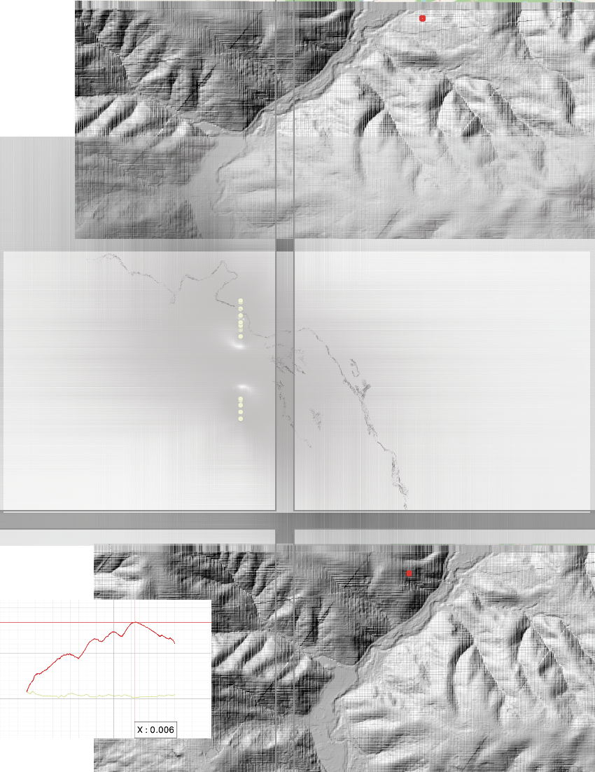
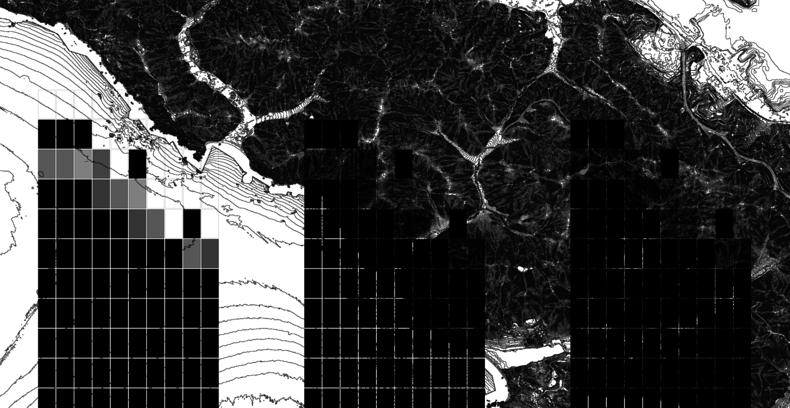
Within the scope of this capstone work, I centered my focus on inversion shift within the fog layer as it pertains to general moisture patterns of relative humidity in this local framework. I created 8 profiles of different points of elevation and TRI values (terrain roughness index) that begin to formulate potential relationships between different points of the terrain as they interact with the fog layer. Terrain roughness and ground quality can significantly affect the strength of the fog's temperature inversion, which directly affects how compressed or expanded the fog is on a given day. A stronger inversion correlates to a more compressed layer of fog that is even just a few meters off of the ground, while a weaker inversion shows the fog climbing terrain and losing density.
Methodological Integration- Autographic Visualization and Digital Translation
This project showcases a process of experimentation around the visualization of atmospheric datapoints that centers continuity over precision and relationality over resolution, as provided via methods of autographic visualization where the process of data collection is the subject of focus rather than the data itself. Attention is set towards the method by which fog data could be computed on materials and through geometric form to test out a new form of atmospheric legibility that is grounded in ground-based forms of sensing, data processing, and data integration.
Inversion Sequence Model Logic
This model tracks:
- Dew point depression — the difference between the dew point temperature and the air temperature (DPD)
- The mixing ratio — the average mixing ratio at the surface and top of the inversion layer; the mass of water in the air per mass of dry air, in grams of moisture per kilogram of dry air
- Factor of non-linearity for inversion strength/weakening processes due to terrain variation at lower elevation points
- Air pressure
- Surface humidity levels
Inversion change // terrain chaos exponent- calculation
Variability is now computed as (1 - normalizedAltitude) ^ chaosExponent — an inverse power curve that puts peak variability at the valley floor and sea level, decaying toward the summit. The new "terrain chaos exponent" slider lets you control the sharpness of that curve: at 1.0 it's linear, at 4.0 the low points are extremely chaotic while the upper slopes flatten out quickly.
The non-linear inversion effects at high-variability low-elevation points work through three compounding mechanisms. The noise amplitude scales with variability rather than being a fixed coefficient, so rough low terrain generates larger stochastic perturbations in the inversion signal. A turbulence boost term kicks in above 60% variability using a v^1.8 power function, which causes the inversion strength to spike non-linearly as variability increases — small increases in roughness produce disproportionately large inversion disruptions.
Finally the weighted inversion rate adds a low-elevation amplification term that directly adds the variability of the two lowest points as a multiplier on the mean inversion.
By identifying where on the ground the mixing ratio has the potential to be the highest, the network can better account for where there is the most potential to harvest the fog for utility, analysis or socio-culturally, as a point to observe it in its multitude of densities.
Through this, I am foregrounding the fog clouds variability as a point of departure for greater cultural engagement in relation to how it is commonly experienced as a passive atmospheric condition.
Device Mechanics Logic
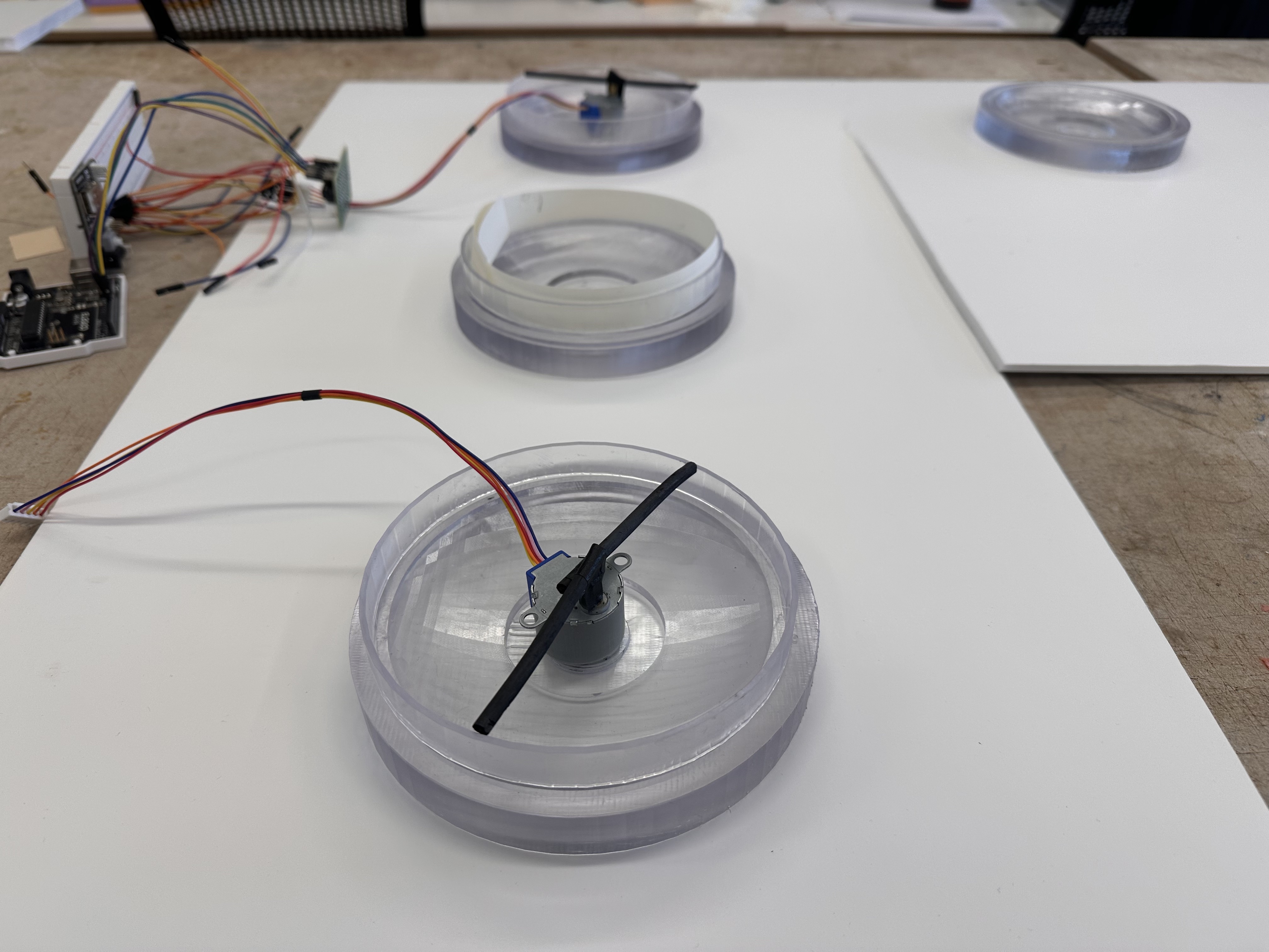
As the strength of the inversion changes, the spinning plotters actualize that shift through changes in their speed, each plotter spinning in response to one zone of elevation. Collectively, each plot is analyzed in reference to one another to assess how the inversion is fluctutation between points of the terrain.
Actuation Logic with the Micro-fluid Dynamics of Fog
Fog naturally moves inland and if the layer starts to lower in air pressure, it climbs. Hypothetically, when the inversion is stronger, the marine layer is thinner and closer to the surface and it is a better time to catch fog.
Terrain Impact Profiles
With the profiles I've created and tested with existing datasets, I will place GPS-air pressure-air temperature sensor configurations at different points of elevation in and around the Ranch to compare with my own data. The the separate sensors will take readings every couple of hours to send to the main stations log- this feeds the spatial autocorrelation calculation to interpolate the inversions fluctuation between the different point. The gets autographically documented to show the progression and changes of the inversion in real time.
This will create a solid estimation of how changes in air pressure and air temperature influence fog response. I'll situate the calculation with a higher variability value so that it creates a certain degree of random outputs given that inversion height of fog changes non-linearly, this gives a certain degree of agency to the variability inherent in a fog cloud, therefore, my method of documentation is harnessing a lack of precision as a current reality of how fog clouds resist full computability.
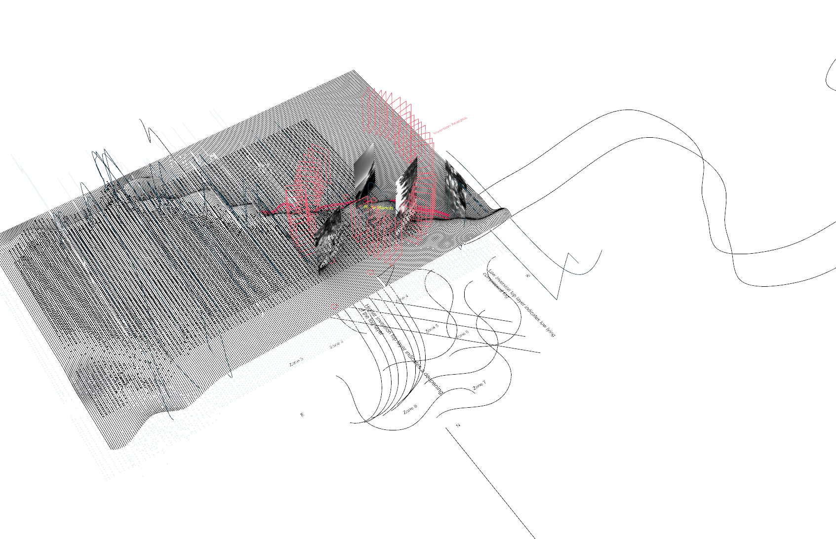
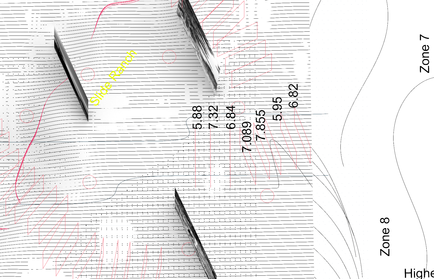
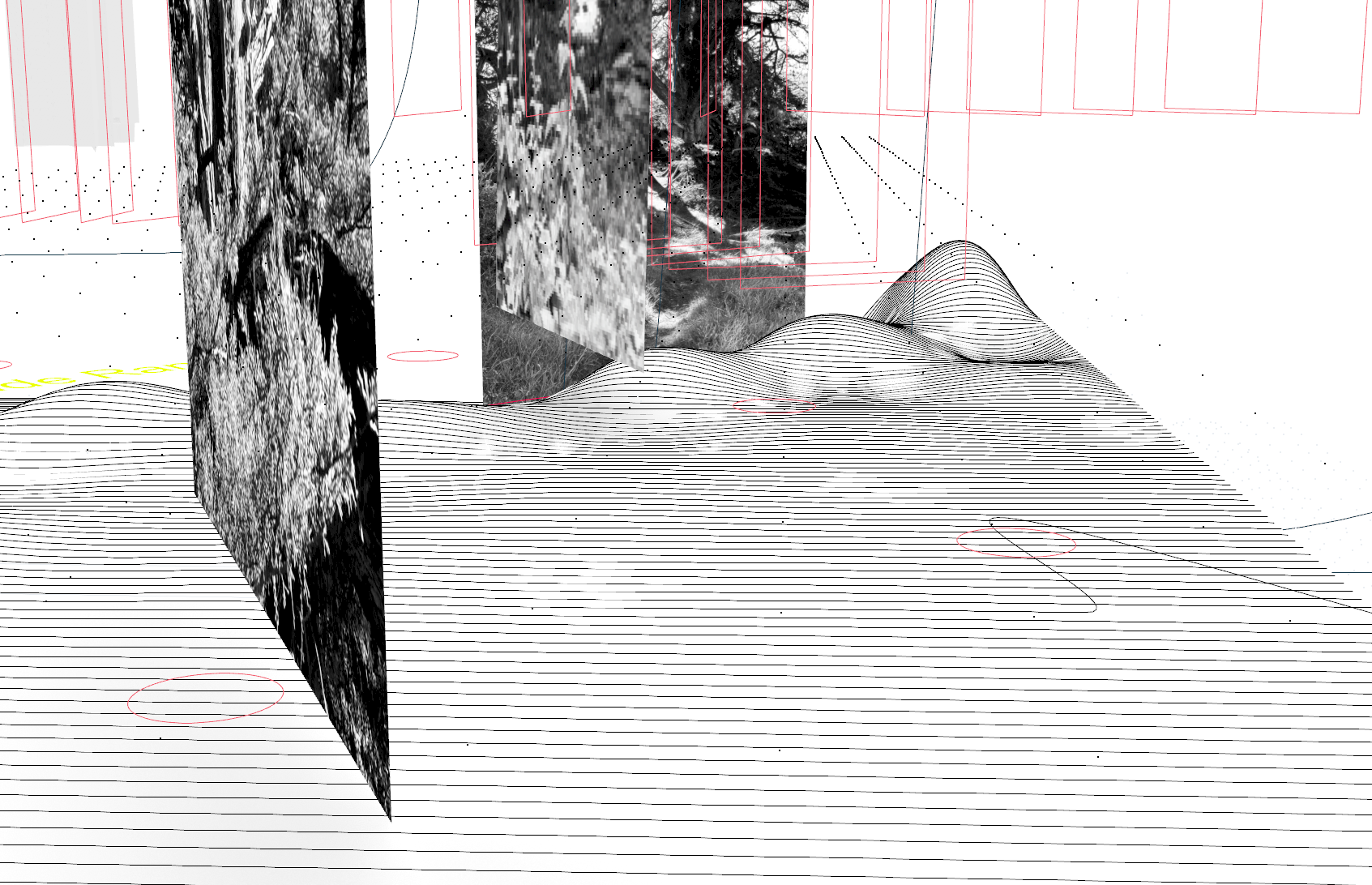
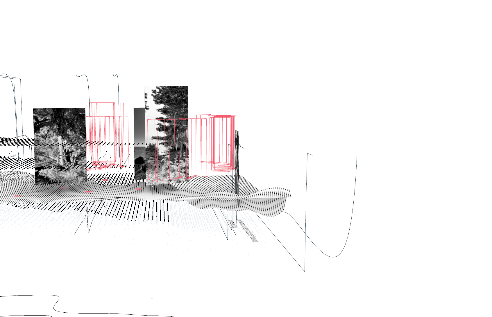
Inversion Calculation Ouput Sequences
I propose a new form of fog notation based in the internal fluctuations of the cloud created by the strength of its temperature inversion.
Scenario: If points A and B both share similar slope variations qualities but have different terrain roughness values then higher TRI predicts a strengthening of the inversion. The potential for this zone to shift the inversion is X because of X variables. The diagrammatic output of these inversion sequencers is the movement notation of fog density as it gets compressed and released throughout the terrain.
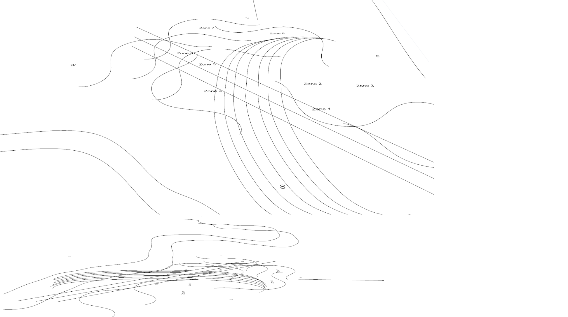
Inversion Sequencer Site Tool
Material Aggregation and Encoding Process
Transcoding Data to Geometric Form
Media to be inputted:
- Diagram of form and sequencing logic
- Video of sequencing in motion
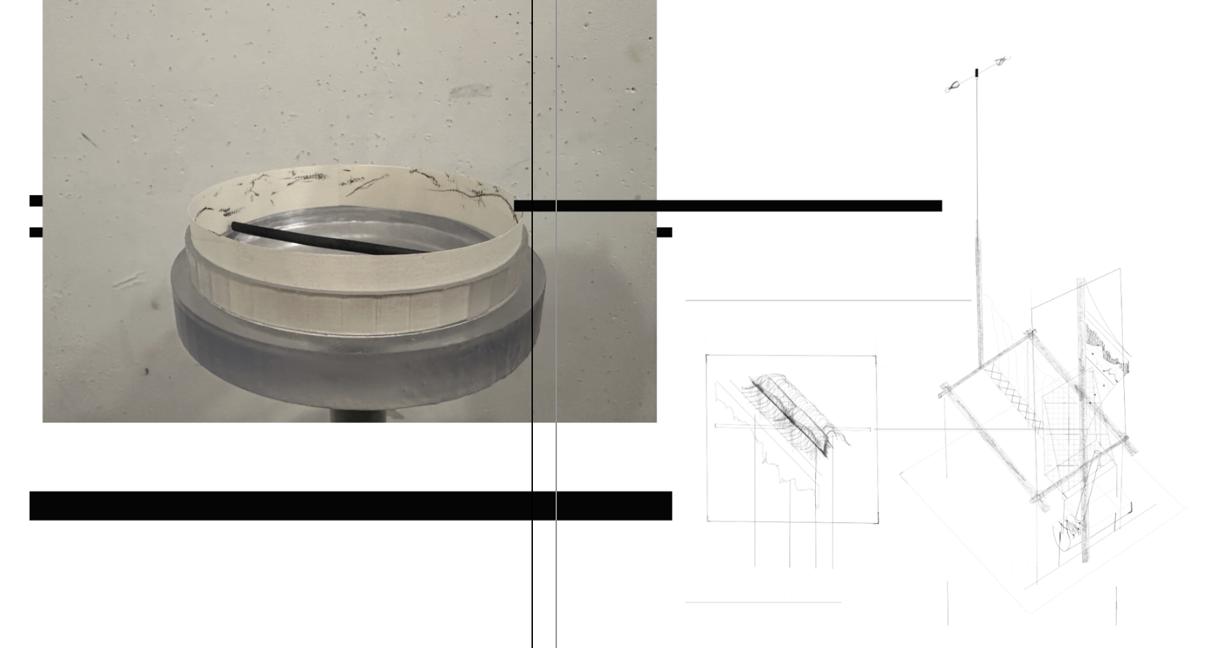
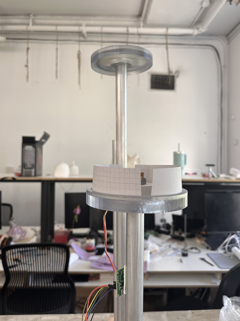
The end output- a movement-based method of providing a geographical location for a particular air pressure relative to fog density to assess how the inversion layer fluctuates over minute elevation changes.
A New Legibility of Air Moisture
What do the traces mean?
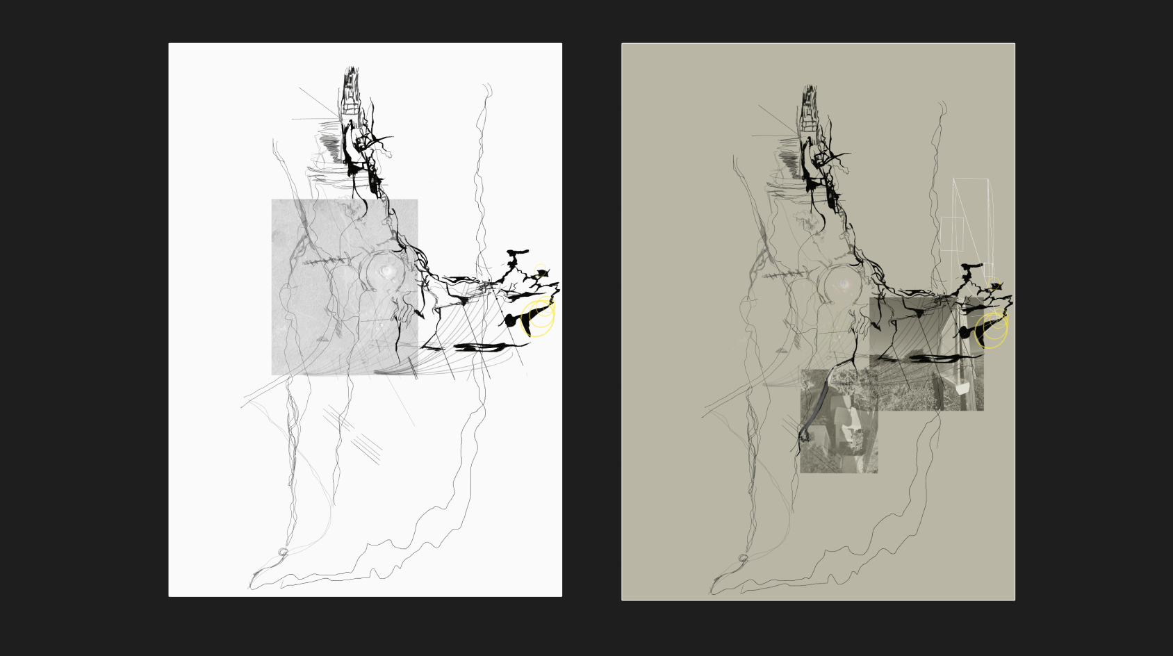
At this stage, I've aggregated the traces of the inversion calculation model to create drawings of sub-sections of the terrain, in their accumulation, they get re-drawn onto a 2D map to trace the rate of vertical change within the fog layer as it remains steady and close to the ground, or moves to higher elevation points. The strength of the inversion corresponds to the line weight depth in the markings.
This counter-cartographic practice with the use of the spinning plotter will serve the tension I am pointing to between local, regional and global forms of atmospheric regulation, questions of property plotting, entitlement to fog moisture as a water source versus fog moisture as a local phenomena that is ontologically ephemeral and inherently un-controlled.
By turning these ephemeral movements into markings to then be made into static molds, I am pointing to the tension of turning fog moisture into a system of both a cultural artifact and evolving boundary condition.
Making fog reading into a static form is almost non-sensical, but there is a need to let it speak through archival material, beyond numbers but via spatialized drawings that can be re-posted and serve as a spatial dialogue with the immediate atmospheric patterns of the raw data generation on the scrolls.
For Future Projections
If air pressure were to drop and fog dissipation were to increase, how would this device need to operate?
How do I scale modes of viewership of this phenomena and gradual progression?
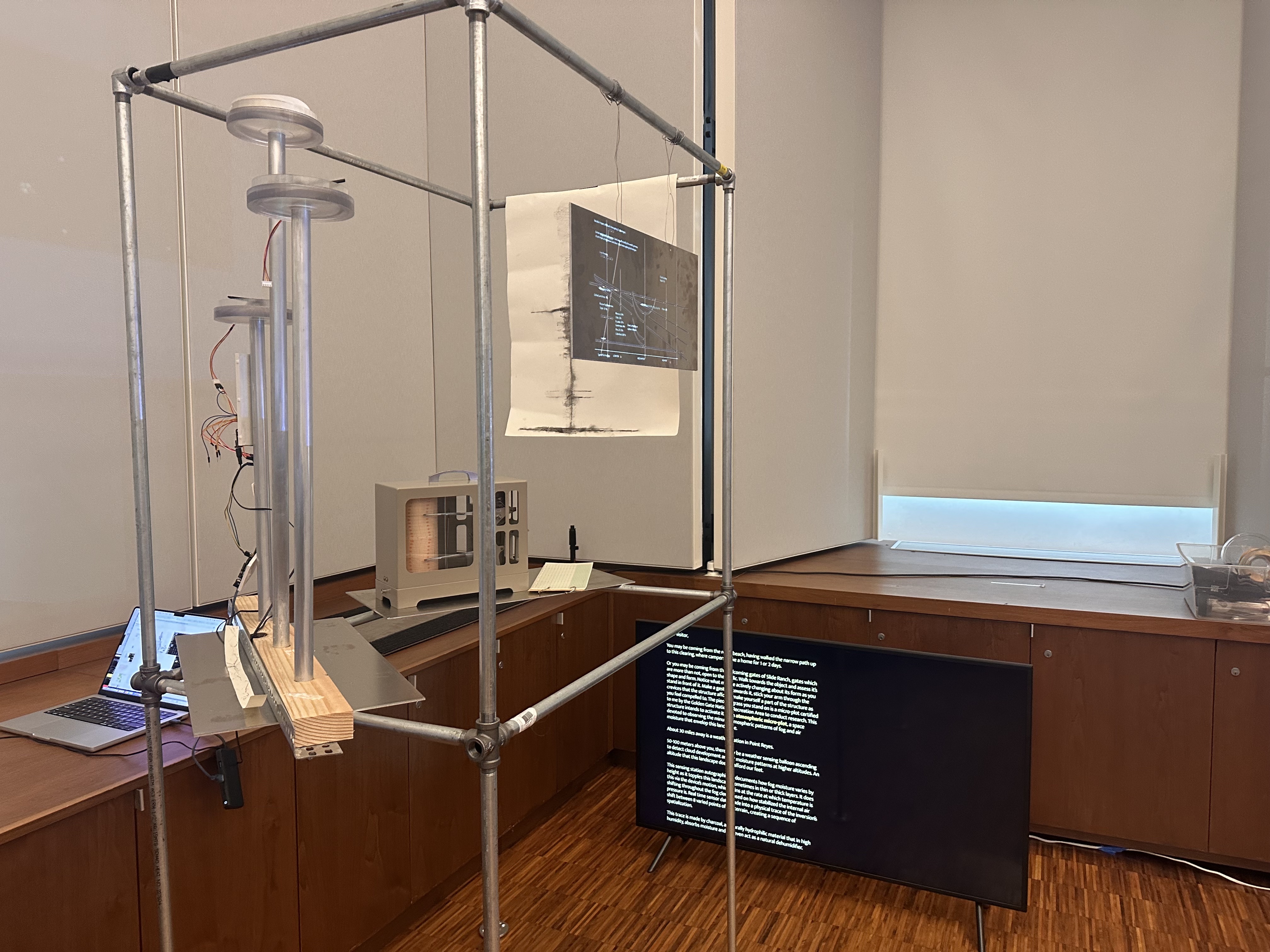
Phase II of A Weathering Station
This data collection and documentation will help inform the performance testing of:
- Situated structures on-site at Slide Ranch and the broader Golden Gate Recreation Area
- Atmospheric metrics used for the in-house moisture boxes for remote autographic visualization
- Integration with methods of fog computing and public land use coordination in international contexts
- Atmospheric sensing experiments for adaptive reuse potential of obsolete structures
"The meso is a site of invention where the pragmatics of the question are much more alive, more vivid, more difficult to forget than the micro or the macro, which traditionally plays a game of truth. The meso must create itself. And each time, the meso affirms its co-presence with a mileu"[3:1]
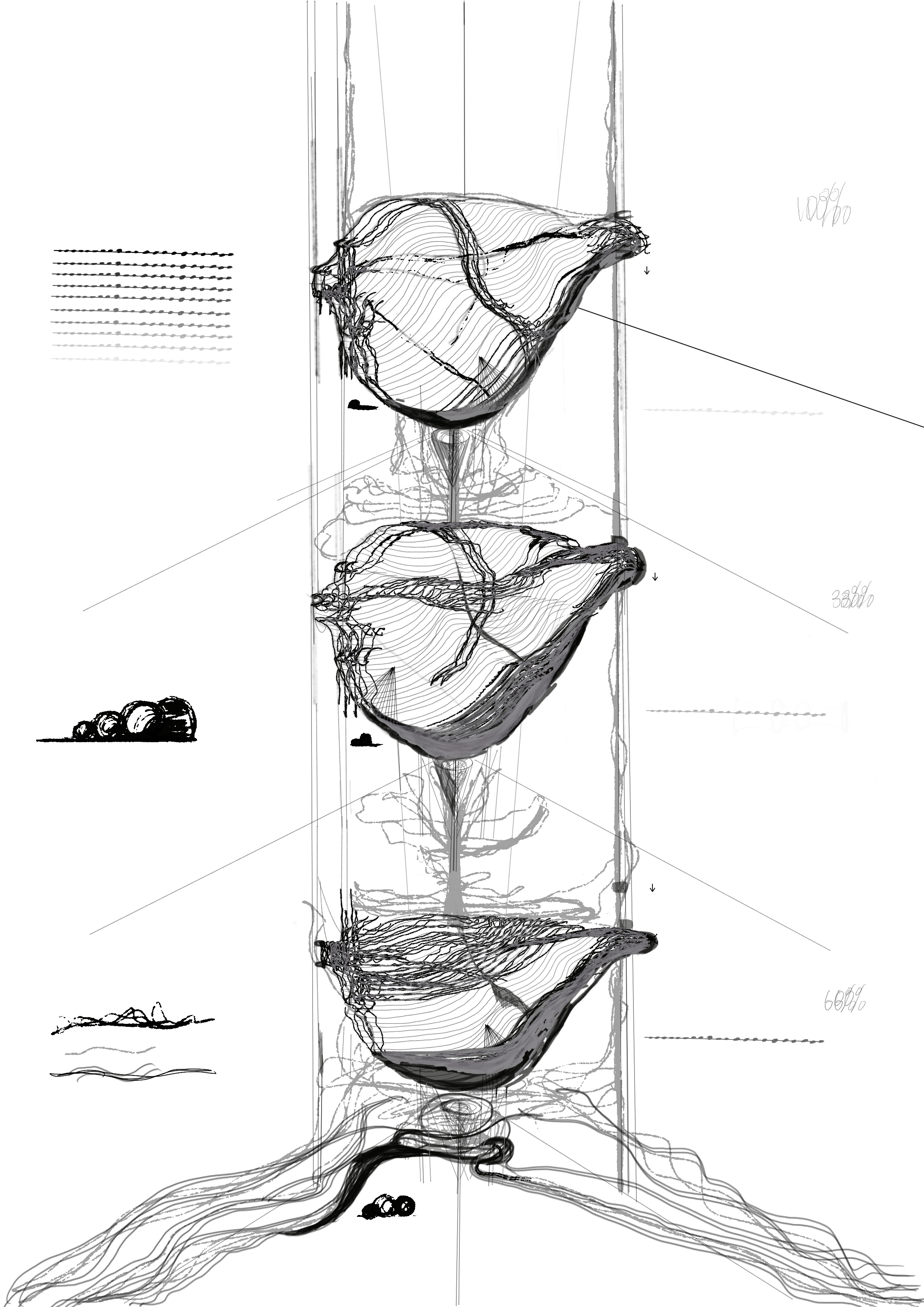
Data Projection of Climatic Stakes of Cloud-Implicating Technologies
With emerging methods of geoengineering- such as solar geoengineering method Marine Cloud Brightening- that could potentially alter atmospheric chemistry forever, without proper meteorological understanding of low lying cloud and fog layer formation- as this continues to get progressively more difficult to model (due to the frequent fluctuation of sea to land surface temperatures), ground-based sensing and fog conceptualization models are more important than ever to build and integrate into localized knowledge frameworks and technological understandings of local-to-planetary fog patterns.
Conclusion
To help address the liminality this creates between documentation and predictability of weather conditions, I propose that highly granular forms of sensing are required not only to understand the behaviors of the fog layer as a whole, but to promote specificity in where and how technologies such as fog harvesters, fog sensors, surfaces built to promote condensation or as this set-up supports, fog viewports from different parts of the landscape sequenced to one device.
In actuating this piece on-site, I intend for it to be further developed into a weather station actuated by collective engagement with the sensing devices, movement of them, observation of them and data-driven placement of their drawings and psychrometric signage to activate public space as atmospheric micro-plots to validate the occurrance of small climatic shifts which accumulate over time, which draw a relationship between land, sky and sea as a continual flux of cloud formation and dissipation.
With the Slide Ranch community, I intend to create further visualizations to document the work.
Jennifer Gabrys, "Becoming Planetary," E-flux Architecture: Accumulation (October 2018). https://www.e-flux.com/architecture/accumulation/217051/becoming-planetary ↩︎ ↩︎
John Durham Peters, The Marvelous Clouds: Toward a Philosophy of Elemental Media (University of Chicago Press, 2015). ↩︎
"Days Without Clouds: Realism, Images, and Target Classifiers at Google Earth Engine" Nicole Sansone Ruiz, Computational Culture 9 (July 2023) ↩︎ ↩︎